
C4TAK / Common operational picture / Rugged field device
C4TAK
Distributed command & control
A fused picture that stays inside the command vehicle helps nobody at the perimeter. C4TAK extends the command post into a distributed environment: everyone authorised sees the part of the picture their task requires, on the device already in their hand.
picture
not by broadcast
from the field
civil partners
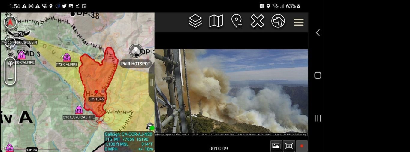
Everyone sees their part of it.
Unit positions, routes, control measures, hazards, messages, imagery and sensor alerts are presented on one map. Sensor tracks generated by C2 Defender, AcuSync and connected third-party systems flow into the same view without anyone having to monitor a sensor feed.
Dissemination is by role, team and location. A search volunteer, a medical team and a tactical unit on the same operation are not shown the same things — which limits both information overload and unnecessary exposure.
- Common operational picture on rugged field devices
- Live unit positions across mixed teams
- Routes, control measures, hazards and task status
- Georeferenced incident reporting from the field
- Sensor alerts pushed from C2 Defender and AcuSync
- Role- and team-based dissemination
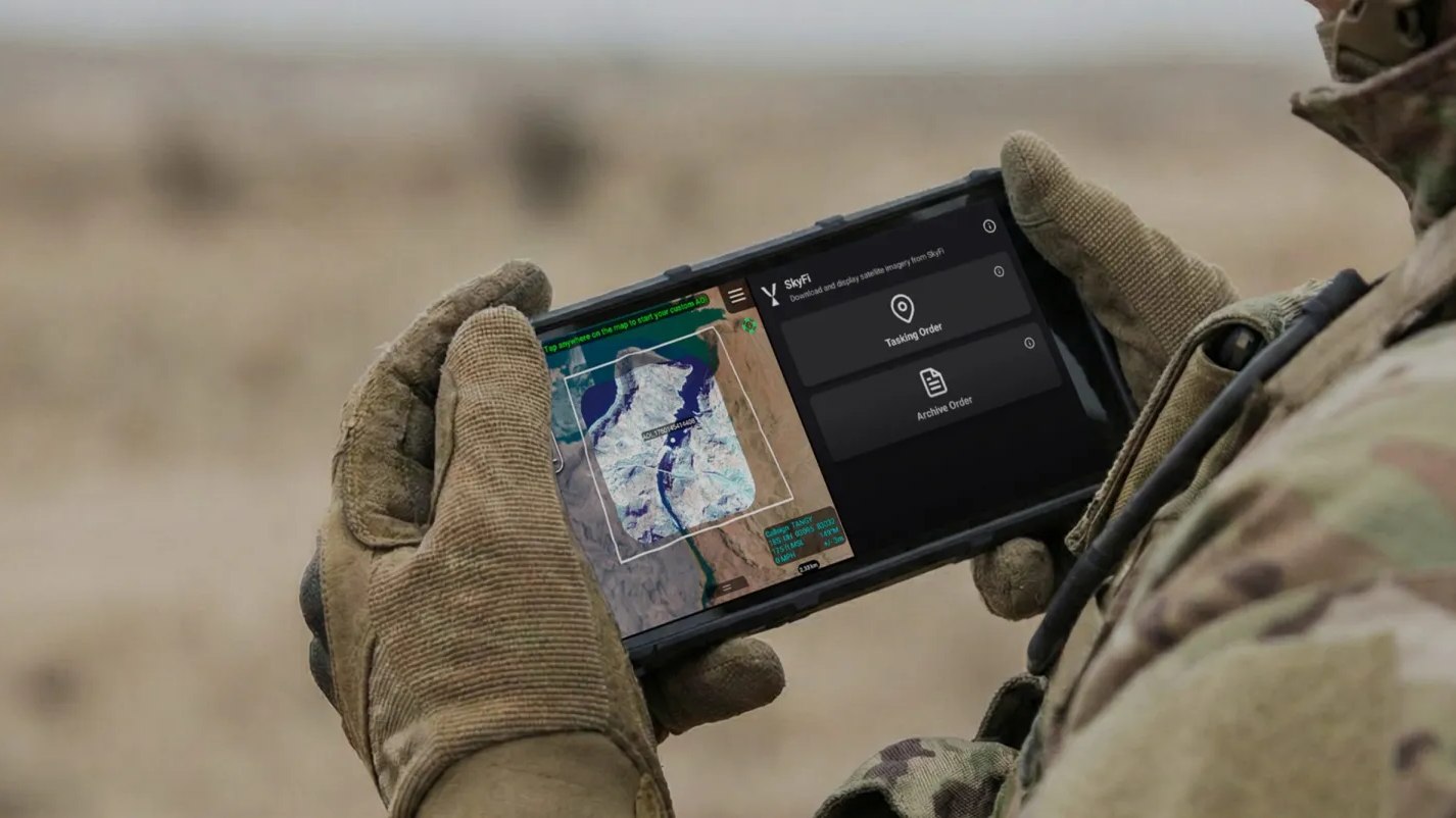
Built for interagency operations.
Real incidents are interagency by the second hour. Police, military, medical, fire, search-and-rescue and civilian volunteers end up on the same ground with different radios and no shared map.
C4TAK gives them one, with authority applied per participant — so a volunteer can be given a search sector and a check-in without being given the whole operational picture.
C4TAK specification
Device, network and hosting configurations are specified per programme.
| Type | software · field devices |
|---|---|
| Picture | map-based common operational picture |
| Positions | live, across mixed teams |
| Tasking | routes · control measures · status |
| Reporting | georeferenced, from the field |
| Sensor input | C2 Defender · AcuSync · third party |
| Dissemination | role · team · location |
| Participants | military · police · SAR · civil |
| Deployment detail | on request |
Capabilities
- Presents one map-based picture to every authorised participant
- Filters what each participant sees by role, team and location
- Carries sensor tracks and alerts without exposing raw feeds
- Accepts georeferenced reports and imagery from the field
Deployment
- Tactical units under a mobile or fixed command post
- Emergency services and interagency incident response
- Search-and-rescue operations with volunteer participation
- Public events with security and medical coordination
- Border and remote-area patrols
REB Defence systems may be subject to Slovak and European Union export-control law, including Regulation (EU) 2021/821 on dual-use items. Radio-frequency effect systems are supplied to authorised government, defence and law-enforcement end users only, and their employment remains subject to national spectrum authority, rules of engagement and applicable law.
Where it plugs in.
- Tracks and alerts from C2 Defender fusion
- Acoustic events from AcuSync nodes
- Imagery from C2 Minions and mast-mounted sensors
- Customer communications networks and command systems
C4TAK in the field.
Layers that reinforce each other.
C4TAK is complete on its own. Alongside the others it is stronger — each system covers a blind spot the rest cannot reach, and every one of them acts on what the others detect.
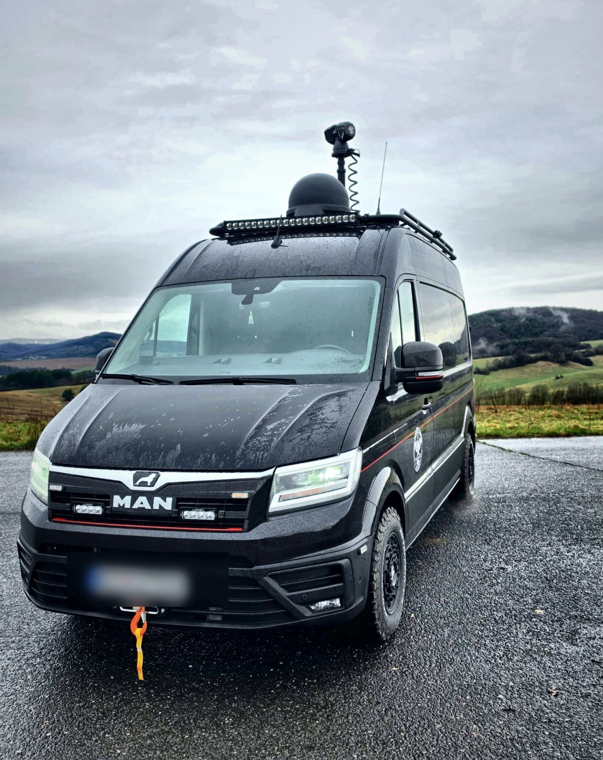
C2 Defender
Mobile command post and multi-domain fusion node. Radar, RF, electro-optics, acoustics and UAV feeds converge into one picture.
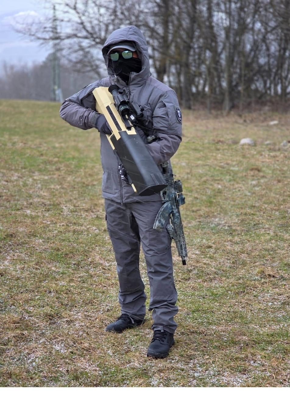
ADP
Handheld counter-UAS jammer, 400–6000 MHz, extendable to 12 GHz. Directional and spatial effect from one system.
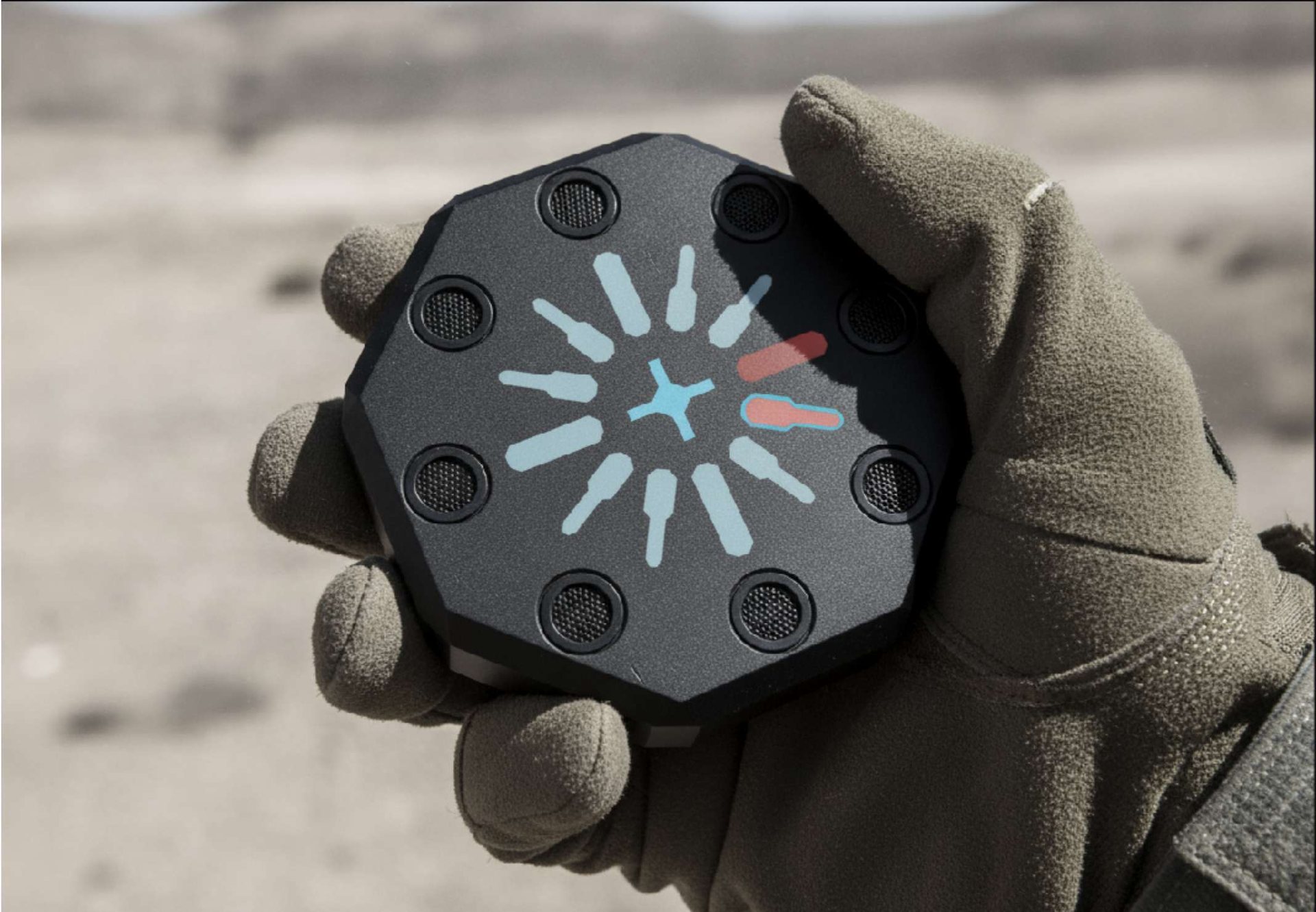
AcuSync
Hears UAS and small-arms fire on eight microphones, names the threat and points at it — without transmitting a detection signal of its own.
Tell us what you have to protect.
Give us the area of operations, the threat picture, the units taking part and the authority you hold. We will come back with a system architecture and a realistic timeline — not a catalogue.